60°F
Chance Rain Showers
Data: NOAA/National Weather Service. Forecast updated Oct 16, 2026, 7:47 AM UTC. Discussion issued Oct 16, 2026, 5:53 AM UTC.
Air Quality Index: 26 (Good)
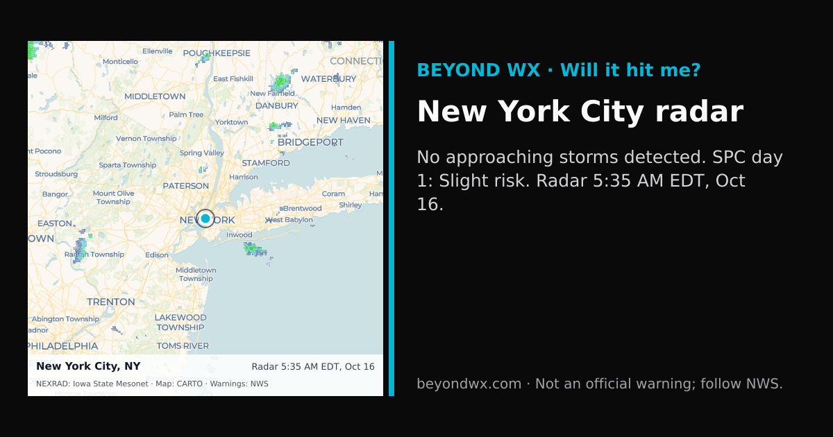
SPC Convective Outlook: Slight Risk
Rain starts around 5:00 AM.
No storms on track toward New York City right now.
Hourly NWS forecast and radar storm motion. Times are local. Not an official warning; follow NWS.
Share: storm card image · live radar
New York City, located at 40.7128°N, 74.0060°W, experiences a humid subtropical climate, though it borders on a humid continental climate due to its cold winters. This classification is characterized by hot, humid summers and cold winters, with significant seasonal variation in temperature and precipitation.
In the summer months, from June to August, average high temperatures typically range from 79°F to 85°F, while lows hover between 64°F and 71°F. Winter, spanning December to February, sees average highs from 39°F to 43°F and lows between 26°F and 32°F. Spring and fall are transitional seasons, with spring temperatures generally rising from the upper 40s to the 60s, and fall temperatures decreasing from the 70s to the 50s.
Annually, New York City receives about 47 inches of precipitation, distributed fairly evenly throughout the year. However, July tends to be the wettest month, while February is often the driest. Snowfall is common in winter, averaging around 25 inches per season, with January typically being the snowiest month.
The city is occasionally affected by tropical storms and hurricanes, especially from late summer into early fall, though they are often weakened by the time they reach the area. Nor'easters, powerful storms along the East Coast, can bring heavy snow, rain, and strong winds, particularly from late fall through early spring.
Geographically, New York City is situated at a low elevation and is influenced by its proximity to the Atlantic Ocean, which helps moderate temperatures and contributes to the city's relatively high humidity. The surrounding topography, including the Appalachian Mountains to the west, also plays a role in shaping the local weather patterns.