64°F
Light Rain Likely
Data: NOAA/National Weather Service. Forecast updated Oct 16, 2026, 7:57 AM UTC. Discussion issued Oct 16, 2026, 12:11 AM UTC.
Air Quality Index: 33 (Good)
SPC Convective Outlook: Thunderstorm Risk
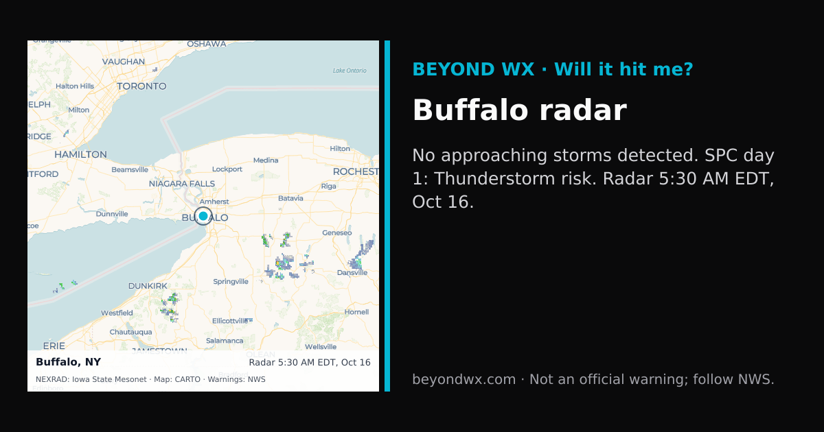
Rain likely now and through the next 2 hours.
No storms on track toward Buffalo right now.
Hourly NWS forecast and radar storm motion. Times are local. Not an official warning; follow NWS.
Share: storm card image · live radar
Buffalo, New York, is classified under the humid continental climate category, characterized by cold, snowy winters and warm, humid summers. This climate is typical of the Great Lakes region, where proximity to large bodies of water significantly influences weather patterns. Buffalo experiences notable seasonal variation, with summer high temperatures averaging in the upper 70s to low 80s Fahrenheit, while winter lows often dip into the low 20s Fahrenheit.
Seasonal temperature transitions are pronounced, with spring bringing milder weather and fall showcasing crisp, cooler air as temperatures descend. Annual precipitation in Buffalo totals around 40 inches, distributed fairly evenly throughout the year. However, the city is renowned for its substantial snowfall, averaging about 95 inches per year, largely attributable to lake effect snow from Lake Erie. December and January are typically the snowiest months, while May and June tend to be the wettest in terms of rainfall.
Buffalo's weather is heavily influenced by its geographic location near Lake Erie, which contributes to lake effect snow, a significant weather phenomenon in the area. This occurs when cold air masses move over the warmer lake waters, resulting in intense snowstorms that can deposit several inches of snow in a short period. The city's elevation, approximately 600 feet above sea level, combined with its proximity to the lake, plays a critical role in moderating extreme temperatures, providing some relief from the more severe conditions experienced further inland.