60°F
Clear
Data: NOAA/National Weather Service. Forecast updated Oct 17, 2026, 11:06 PM UTC. Discussion issued Oct 17, 2026, 10:54 PM UTC.
Air Quality Index: 33 (Good)
No rain expected in the next 2 hours.
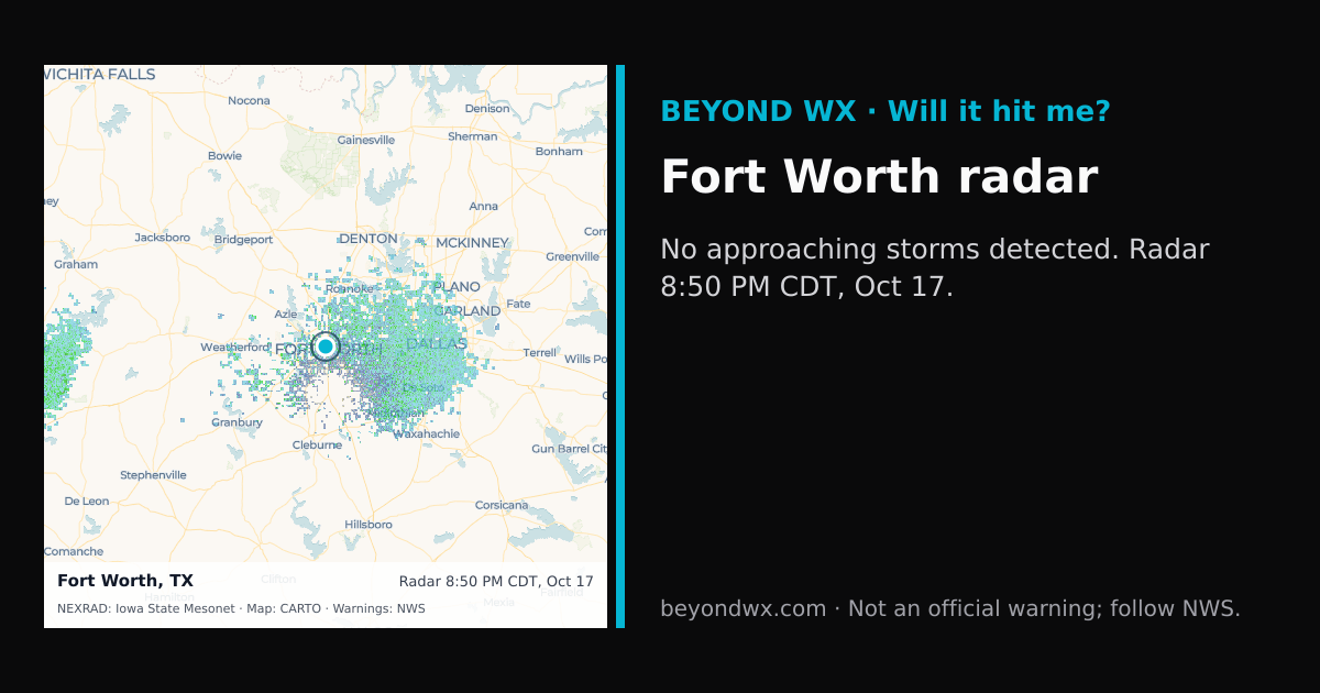
No storms on track toward Fort Worth right now.
Hourly NWS forecast and radar storm motion. Times are local. Not an official warning; follow NWS.
Share: storm card image · live radar
Fort Worth, TX, is characterized by a humid subtropical climate, marked by hot summers and mild to cool winters. This classification reflects the region's tendency for significant temperature variation between seasons, coupled with moderate to high humidity levels.
During the summer months, Fort Worth typically experiences high temperatures averaging in the mid-90s°F, with occasional peaks above 100°F, while nighttime lows drop to the mid-70s°F. Winters are mild, with average highs in the mid-50s°F and lows around the mid-30s°F. Spring and fall serve as transitional periods with fluctuating temperatures, often bringing pleasant weather.
The city receives about 37 inches of rainfall annually, with May and October being the wettest months, often exceeding 4 inches of rain. July and August tend to be the driest months, each averaging around 2 inches of rainfall. Snowfall is rare but not unheard of, with occasional light snowfalls during winter.
Fort Worth lies on the southern edge of Tornado Alley, making it prone to severe thunderstorms and tornadoes, particularly in spring. The area also encounters extreme heat during summer, and ice storms can occur in winter, causing hazardous conditions.
Situated at an elevation of around 650 feet, Fort Worth's weather is influenced by its location on the plains, where it is susceptible to rapid weather changes. The city's proximity to the Gulf of Mexico can also bring moisture-laden air, contributing to its humidity and precipitation patterns.