49°F
Mostly Clear
Data: NOAA/National Weather Service. Forecast updated Oct 16, 2026, 7:26 AM UTC. Discussion issued Oct 16, 2026, 3:45 AM UTC.
Air Quality Index: 21 (Good)
No rain expected in the next 2 hours.
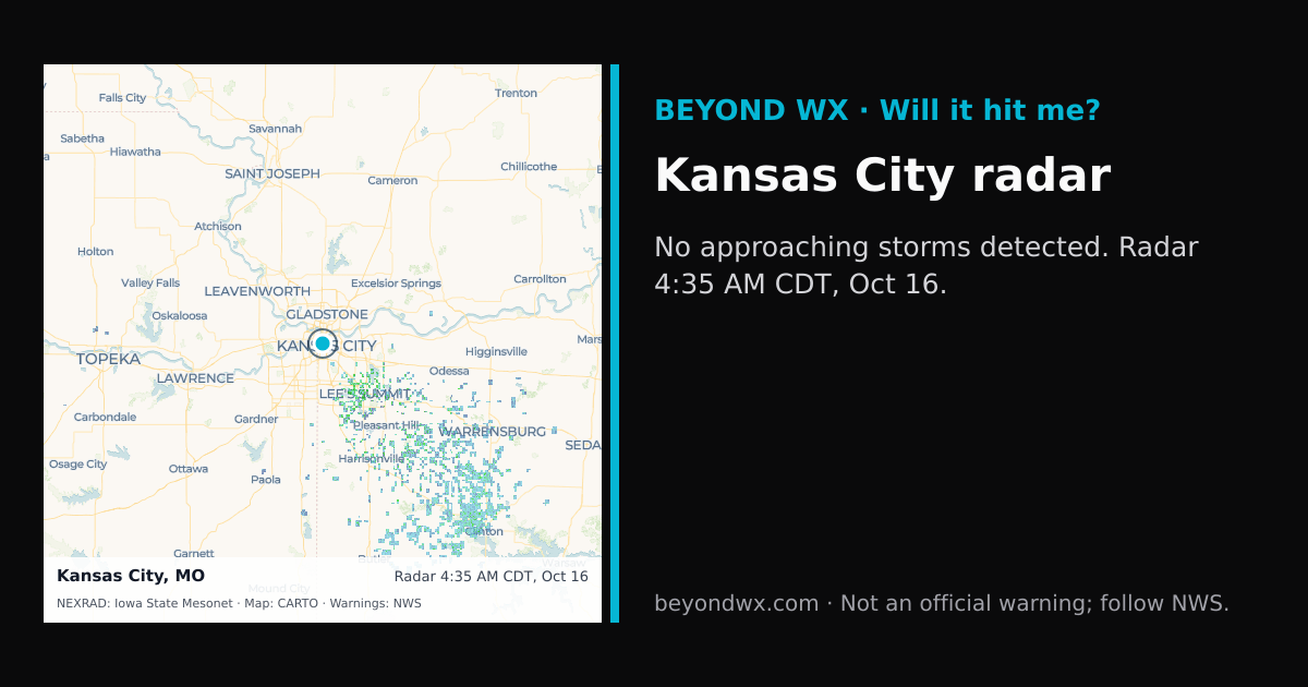
No storms on track toward Kansas City right now.
Hourly NWS forecast and radar storm motion. Times are local. Not an official warning; follow NWS.
Share: storm card image · live radar
Kansas City, Missouri, is situated in a region characterized by a humid continental climate. This classification is marked by hot, humid summers and cold, dry winters. The area experiences distinct seasonal variations, typical of the central United States. During the summer months, temperatures often reach highs in the upper 80s to low 90s°F, while winter temperatures can drop to lows in the mid-20s°F. Spring and fall are transitional seasons with mild temperatures, ranging from the 50s to 70s°F, making them particularly pleasant.
Precipitation in Kansas City averages about 40 inches annually. The region sees its heaviest rainfall during the late spring and early summer, with May and June typically being the wettest months. Conversely, the winter months, particularly January and February, tend to be the driest. Snowfall occurs in the winter, averaging around 14 inches per season, contributing to the overall precipitation levels.
Kansas City lies within the area commonly referred to as "Tornado Alley," making it susceptible to severe thunderstorms and tornadoes, particularly in the spring and early summer. The city can also experience ice storms during the winter months, which can significantly impact local infrastructure. The geographic location, at the confluence of the Kansas and Missouri Rivers and its modest elevation of about 900 feet, influences the local weather patterns by contributing to the variability in temperature and precipitation. The terrain does not provide significant barriers to weather systems, allowing for frequent changes in weather conditions.