67°F
Partly Cloudy
Data: NOAA/National Weather Service. Forecast updated Oct 16, 2026, 8:01 PM UTC. Discussion issued Oct 16, 2026, 11:41 PM UTC.
Air Quality Index: 29 (Good)
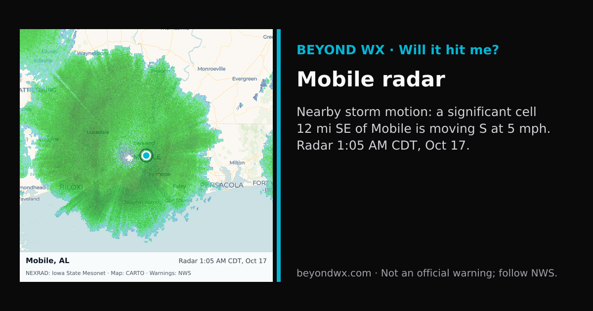
Hourly NWS forecast and radar storm motion. Times are local. Not an official warning; follow NWS.
Share: storm card image · live radar
Mobile, Alabama, is characterized by a humid subtropical climate, typically marked by hot, humid summers and mild winters. This classification is indicative of its location in the southeastern United States, where moist, warm air masses prevail for much of the year. Summers in Mobile see average high temperatures reaching the low 90s Fahrenheit, while winter highs are generally in the mid-60s. Overnight lows in summer hover around the mid-70s, while winter lows usually drop to the mid-40s. Spring and fall offer transitional temperatures, with highs ranging from the 70s to 80s, and lows from the 50s to 60s.
Precipitation in Mobile is abundant, with an annual average of about 65 inches, making it one of the wettest cities in the contiguous United States. The wettest months typically occur in summer, particularly July and August, due to frequent thunderstorms and tropical influences. The driest months are usually October and November. Snowfall is a rarity in Mobile, with most winters seeing no measurable snow accumulation.
Mobile's weather is significantly influenced by its proximity to the Gulf of Mexico, making it susceptible to tropical storms and hurricanes, especially from June to November during the Atlantic hurricane season. The city's low elevation and coastal location contribute to its high humidity levels and frequent thunderstorm activity. Mobile's geographic setting, near sea level and adjacent to major water bodies, plays a critical role in shaping its warm and wet climate patterns.