55°F
Mostly Cloudy
Data: NOAA/National Weather Service. Forecast updated Oct 16, 2026, 6:27 AM UTC. Discussion issued Oct 16, 2026, 3:41 AM UTC.
Air Quality Index: 19 (Good)
No rain expected in the next 2 hours.
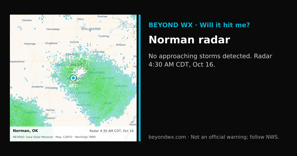
No storms on track toward Norman right now.
Hourly NWS forecast and radar storm motion. Times are local. Not an official warning; follow NWS.
Share: storm card image · live radar
Norman, OK, located at 35.2226°N, -97.4395°W, falls under the humid subtropical climate classification. This means the area experiences hot, humid summers and generally mild to cool winters. The city's climate is influenced by its position in the southern plains, which brings varied weather patterns typical of this climate zone.
In summer, temperatures in Norman often reach highs in the mid-90s °F, with lows in the low 70s °F. Winters are milder with average highs in the mid-50s °F and lows dipping into the mid-30s °F. Spring and fall offer transitional weather, with spring sometimes bringing volatile conditions due to changing atmospheric patterns.
The city receives an average annual rainfall of around 38 inches. May is typically the wettest month, while January tends to be the driest. Snowfall is minimal, averaging around 5 inches per year, with most snow occurring in January and February.
Norman is situated within Tornado Alley, making it susceptible to severe weather events, particularly in spring when conditions are ripe for tornado development. The flat terrain of the region, coupled with warm, moist air from the Gulf of Mexico, contributes to these intense storms. Occasional ice storms in winter can also disrupt normal activities.
Geographically, Norman is set in a region of flat plains with an elevation of about 1,171 feet, which allows for unobstructed wind flow and contributes to the area's severe weather potential. The lack of significant geographical barriers means weather systems can move rapidly across the region.