55°F
Partly Sunny
Data: NOAA/National Weather Service. Forecast updated Oct 17, 2026, 8:01 AM UTC. Discussion issued Oct 17, 2026, 11:06 AM UTC.
Air Quality Index: 23 (Good)
No rain expected in the next 2 hours.
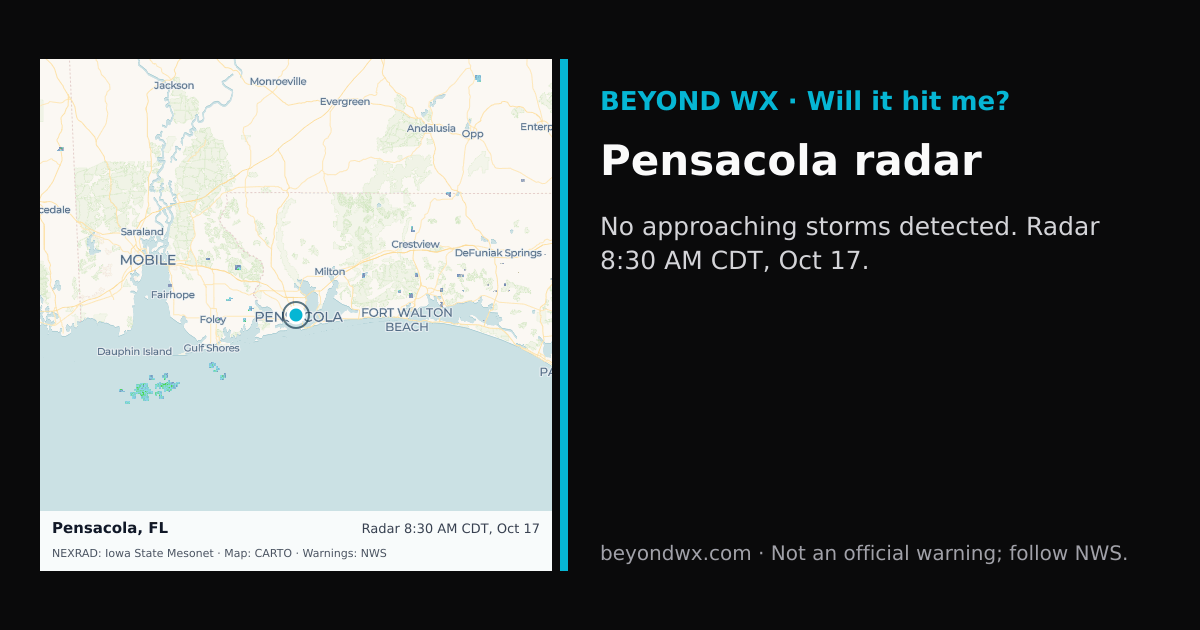
No storms on track toward Pensacola right now.
Hourly NWS forecast and radar storm motion. Times are local. Not an official warning; follow NWS.
Share: storm card image · live radar
Pensacola, FL, located at 30.4213°N, -87.2169°W, experiences a humid subtropical climate characterized by hot, humid summers and mild, wet winters. This climate classification leads to significant rainfall throughout the year and warm temperatures that rarely fall to extreme lows. The region's proximity to the Gulf of Mexico heavily influences its weather patterns, contributing to its overall humidity and precipitation levels.
During the summer months, Pensacola typically sees highs in the upper 80s to low 90s Fahrenheit, with nighttime lows in the mid-70s. Winters are mild, with daytime temperatures usually ranging from the mid-50s to mid-60s, and nighttime lows occasionally dipping into the 40s. Spring and fall serve as transitional periods with temperatures that gradually shift between these seasonal extremes.
Pensacola receives an average annual rainfall of about 65 inches, with the wettest months generally occurring from June to September, coinciding with the Atlantic hurricane season. The driest period tends to be in October. Snow is extremely rare in this region due to its southern location and mild winter temperatures.
Notable weather phenomena in Pensacola include a significant risk of hurricanes and tropical storms, particularly from June through November. The city's coastal location makes it vulnerable to storm surges and heavy winds associated with these systems. Tornadoes can also occur, albeit less frequently than in other parts of the southeastern United States.
Geographically, Pensacola is at sea level along the Gulf Coast, which contributes to its high humidity and precipitation. The surrounding flat terrain and the influence of the Gulf of Mexico play crucial roles in shaping its climate, facilitating warm air and moisture flow into the region.