69°F
Isolated Showers And Thunderstorms
Data: NOAA/National Weather Service. Forecast updated Oct 16, 2026, 6:21 AM UTC. Discussion issued Oct 15, 2026, 11:57 PM UTC.
Air Quality Index: 44 (Good)
SPC Convective Outlook: Marginal Risk
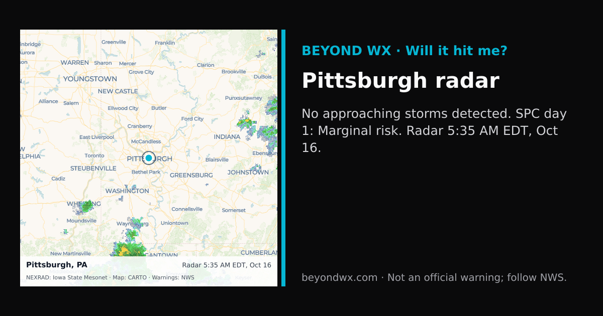
No rain expected in the next 2 hours.
No storms on track toward Pittsburgh right now.
Hourly NWS forecast and radar storm motion. Times are local. Not an official warning; follow NWS.
Share: storm card image · live radar
Pittsburgh, PA, is classified under the humid continental climate zone, characterized by significant seasonal temperature differences with warm to hot summers and cold winters. This classification reflects the city's inland position away from oceanic influences, leading to more pronounced seasonal variations.
During the summer months, Pittsburgh experiences average high temperatures in the mid-80s°F, with lows typically in the mid-60s°F. Winters are cold, with average highs in the mid-30s°F and lows dipping into the low 20s°F. Spring and fall are transitional seasons, featuring moderate temperatures and a mix of weather conditions, often unpredictable as they shift towards the extremes of summer or winter.
Pittsburgh receives about 38 inches of rainfall annually, with May being the wettest month. The city experiences a relatively even distribution of precipitation throughout the year, though February tends to be the driest month. Snowfall is a significant feature of the winter climate, averaging around 40 inches annually, mainly from December through March.
The city is not prone to extreme weather phenomena like tornadoes or hurricanes; however, it can experience occasional ice storms and heavy snow events, especially given its proximity to the Great Lakes, which can influence regional weather patterns. The elevation of Pittsburgh, approximately 1,223 feet above sea level, combined with its situation in the Allegheny Plateau, contributes to its varied climate, affecting local wind patterns and precipitation distribution.