79°F
Sunny
Data: NOAA/National Weather Service. Forecast updated Oct 17, 2026, 9:26 PM UTC. Discussion issued Oct 17, 2026, 11:17 AM UTC.
Air Quality Index: 44 (Good)
No rain expected in the next 2 hours.
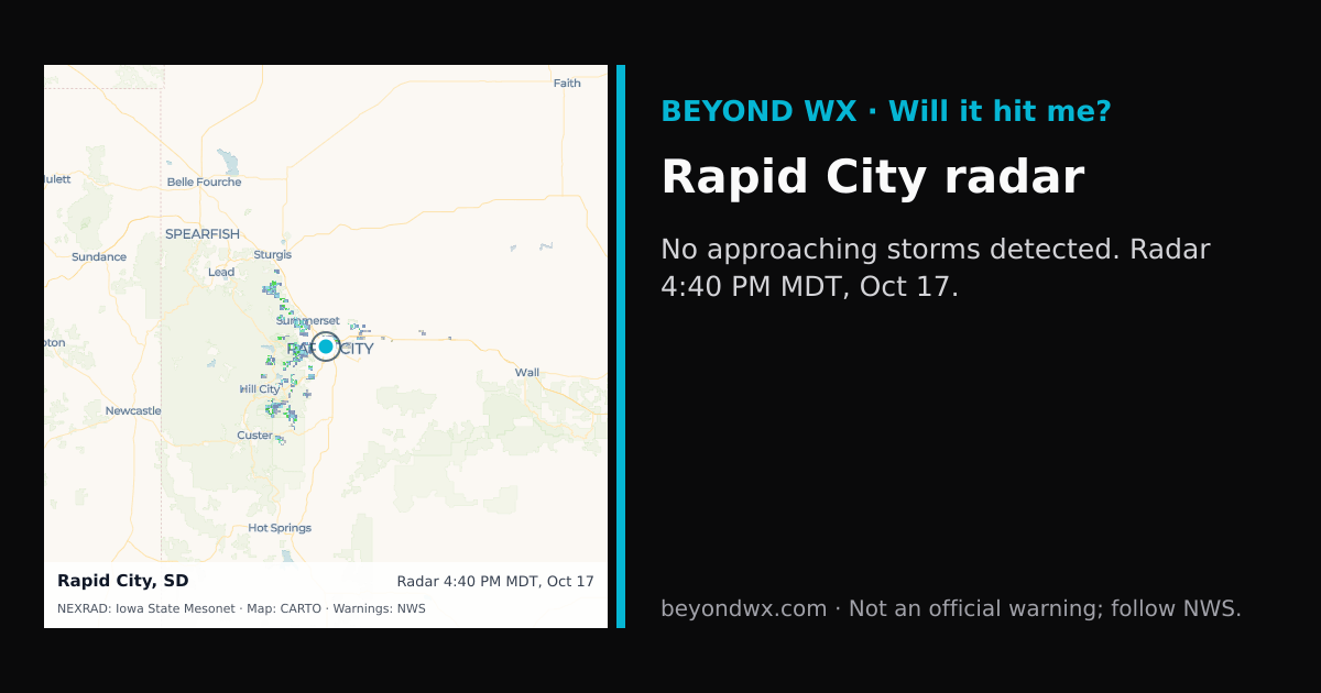
No storms on track toward Rapid City right now.
Hourly NWS forecast and radar storm motion. Times are local. Not an official warning; follow NWS.
Share: storm card image · live radar
Rapid City, South Dakota, falls under the semi-arid climate classification, characterized by hot summers and cold winters with variable precipitation throughout the year. This region experiences significant temperature fluctuations, typical of the continental climate types prevalent in the interior United States.
During summer, temperatures in Rapid City typically range from highs in the mid-80s°F to lows in the mid-50s°F. Winters are considerably colder, with high temperatures averaging in the mid-30s°F and lows often dropping to the teens. Spring and fall serve as transitional periods, with moderate temperatures and more unpredictable weather patterns.
The city averages around 18 inches of precipitation annually, with May and June being the wettest months due to increased thunderstorm activity. Snowfall is an important aspect of the climate, with the city receiving about 40 inches of snow each year, primarily between November and March. March is usually the snowiest month.
Rapid City's weather is influenced by its location on the northeastern edge of the Black Hills. This geographical feature can lead to unique weather patterns, such as upslope snow events and localized climate variations. While the area is not part of Tornado Alley, severe thunderstorms and occasional tornadoes can occur, particularly in late spring and early summer. The city's elevation at approximately 3,200 feet also contributes to its cooler temperatures and can intensify winter storms.